
Tropical Storm Edouard: 5 Major Threats to Texas, Louisiana
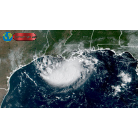
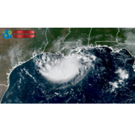
Tropical Storm Edouard has formed in the Gulf of Mexico, placing parts of Texas and Louisiana under an increasing threat of heavy rainfall, flash flooding, strong winds and coastal flooding. The fast-developing system is expected to approach the northwestern Gulf Coast as residents and emergency officials monitor its track and potential impacts.
The storm developed rapidly after progressing through several classifications in a short period, highlighting how quickly conditions in the Gulf can change during the Atlantic hurricane season. According to the latest information from FOX Weather, Tropical Storm Edouard was expected to move toward the Texas or Louisiana coast, with landfall potentially occurring Tuesday.
While the exact location of landfall remained subject to change, communities along the upper Texas and southwestern Louisiana coast faced a growing risk of dangerous weather conditions.
1. Tropical Storm Edouard Brings Strong Winds to the Gulf Coast
One of the first major threats from Tropical Storm Edouard is expected to be strong winds along portions of the Gulf Coast.
The National Hurricane Center reported that the storm had sustained winds of 40 mph while moving west-northwest across the Gulf. A tropical storm is defined as a tropical cyclone with maximum sustained winds ranging from 39 to 73 mph.
Tropical-storm-force winds were expected to affect parts of the northeastern Texas and southwestern Louisiana coastline.
A Tropical Storm Warning was in effect for sections of the northwestern Gulf Coast, stretching from Port Bolivar in Texas toward the Vermilion and Cameron Parish region of Louisiana.
Strong winds can cause more than temporary inconvenience. Gusty conditions may damage trees, knock down power lines and create hazardous conditions for drivers, particularly on bridges and elevated roads.
Coastal residents may also experience rough surf and deteriorating weather conditions before the center of Tropical Storm Edouard reaches land.
Why Wind Conditions Matter
Even a relatively modest tropical storm can create significant disruptions.
Residents in affected areas may face:
- Falling tree branches
- Localized power outages
- Difficult driving conditions
- Dangerous marine conditions
- Damage to unsecured outdoor objects
Therefore, people living near the projected path of Tropical Storm Edouard should closely monitor official weather alerts.
2. Heavy Rain Could Trigger Flash Flooding
Heavy rainfall is expected to be one of the most serious hazards associated with Tropical Storm Edouard.
The storm is forecast to bring widespread rain and thunderstorms as it approaches and eventually moves inland. Slow-moving tropical systems can produce particularly dangerous rainfall because they allow storms to release large amounts of water over the same areas for extended periods.
The Houston metropolitan area could be among the locations facing significant rainfall. FOX Weather reported that the region could receive approximately 3 to 5 inches of rain as the system moves inland.
However, rainfall totals can vary depending on the storm’s final track, speed and interaction with other weather systems.
Flooding Can Become Dangerous Quickly
Urban areas are particularly vulnerable when heavy tropical rainfall falls within a short period.
Roadways can become flooded quickly, while drainage systems may struggle to handle intense rainfall. Low-lying neighborhoods and areas near rivers, creeks and drainage channels may also face increased flood risks.
Motorists should never assume that a flooded road is safe to cross.
Weather officials regularly warn drivers to avoid driving through flooded areas because water depth can be difficult to judge. Fast-moving floodwaters can also sweep vehicles away.
3. Coastal Flooding and Storm Surge Remain a Concern
Tropical Storm Edouard could also cause coastal flooding as strong winds push water toward the shoreline.
Storm surge concerns were especially focused on parts of southwestern Louisiana. Storm Surge Watches were in effect for coastal areas, with some locations facing the possibility of several feet of water above normal conditions.
Coastal flooding can affect roads, homes and critical infrastructure.
The danger does not always end immediately after landfall. High water levels and rough coastal conditions can continue depending on the storm’s movement and local geography.
Coastal Communities Should Prepare
People living near the Gulf Coast should pay attention to local emergency instructions.
Preparations may include:
- Securing outdoor furniture
- Checking emergency supplies
- Charging electronic devices
- Avoiding unnecessary travel
- Monitoring evacuation guidance
- Moving vehicles away from flood-prone areas
The final impact of Tropical Storm Edouard will depend heavily on where the storm makes landfall and how quickly it moves inland.
4. Tropical Storm Edouard Could Strengthen Before Landfall
Another important concern is the possibility of additional strengthening.
Tropical weather systems can change rapidly when atmospheric and ocean conditions are favorable. Warm Gulf waters can provide energy that allows tropical cyclones to organize or intensify.
Tropical Storm Edouard developed quickly, moving through multiple stages of tropical classification in less than a day before becoming a named storm.
That rapid development is a reminder that residents should not focus only on the storm’s current strength.
Instead, they should monitor the latest official forecasts.
A storm’s intensity, movement and projected landfall location can all change. Even without major strengthening, Tropical Storm Edouard could still bring dangerous rainfall, flooding and wind impacts to a large area.
5. Texas and Louisiana Residents Face a Fast-Changing Forecast
Perhaps the most important message for residents is that tropical storm forecasts can change.
A small shift in the path of Tropical Storm Edouard could significantly change which communities experience the strongest winds and heaviest rainfall.
The system was expected to approach the upper Texas or southwestern Louisiana coast, but the precise location of landfall remained a critical part of the evolving forecast.
Communities outside the immediate landfall zone should not assume they are safe from major impacts.
Tropical storms can produce widespread rain bands that extend far from the center of circulation.
As a result, flash flooding, thunderstorms and gusty winds may affect areas well away from the exact landfall location.
What Makes Tropical Storm Edouard a Significant Weather Threat?
Tropical Storm Edouard is a significant threat because several weather hazards may occur at the same time.
Residents could face strong winds, intense rainfall, flash flooding and coastal flooding within a relatively short period.
The combination of these threats can make travel and emergency response more difficult.
For example, heavy rain can flood roads while strong winds create additional hazards from falling trees and power lines. Coastal flooding can also affect evacuation routes and transportation infrastructure.
This is why emergency preparedness experts encourage residents to prepare before conditions deteriorate.
Waiting until the weather becomes severe can make it more difficult to obtain supplies or travel safely.
How Residents Can Prepare for Tropical Storm Edouard
Preparation remains one of the most effective ways to reduce risks during severe weather.
Residents in potentially affected parts of Texas and Louisiana should review their emergency plans and make sure they have access to reliable information.
A basic emergency kit may include:
- Drinking water
- Nonperishable food
- Flashlights
- Extra batteries
- Essential medications
- Phone chargers
- First-aid supplies
- Important documents
People should also keep their mobile phones charged and monitor official alerts from weather agencies and local emergency management offices.
Prepare Your Home
Before the strongest weather arrives, residents can take several practical steps.
Secure loose outdoor objects that could become dangerous in strong winds. Check gutters and drainage areas where possible. Move valuable belongings away from areas vulnerable to flooding.
Residents in flood-prone neighborhoods should also know their local evacuation routes.
Internal link suggestion: Read our guide to [how to prepare an emergency kit before severe weather].
Internal link suggestion: Learn more about [flash flood safety and hurricane preparedness].
Why the Gulf of Mexico Requires Constant Weather Monitoring
The Gulf of Mexico is a region where tropical weather can develop quickly.
Warm water provides energy for developing storms, while atmospheric conditions determine whether a weather disturbance can organize and strengthen.
The rapid development of Tropical Storm Edouard demonstrates why meteorologists monitor disturbances even before they become officially named systems.
A tropical disturbance can progress from an area of unsettled weather into a more organized cyclone within a relatively short period when conditions are favorable.
For residents along the Gulf Coast, staying informed is especially important during the peak months of tropical activity.
Do Not Rely on Outdated Forecasts
One of the biggest mistakes during an approaching tropical storm is relying on an old forecast.
The projected path and intensity of Tropical Storm Edouard may change as new weather data becomes available.
Residents should regularly check updates from official weather agencies rather than relying only on social media posts or older news reports.
A forecast map shared several hours earlier may no longer reflect the latest conditions.
The best approach is to monitor official updates, follow instructions from local authorities and avoid unnecessary travel when severe weather begins.
For additional official tropical cyclone information, readers can follow updates from the National Hurricane Center.
Tropical Storm Edouard: The Key Message for Texas and Louisiana
Tropical Storm Edouard is bringing a rapidly evolving weather threat to the Gulf Coast.
The system has raised concerns about strong winds, heavy rain, flash flooding and coastal flooding across parts of Texas and Louisiana. The Houston area could also experience significant rainfall as the storm moves inland.
Although the exact details of the storm’s landfall and final impacts may change, residents should take the threat seriously.
The most important step is to stay informed through official forecasts and local emergency alerts.
Preparing early can help families avoid last-minute decisions when weather conditions become dangerous.
As Tropical Storm Edouard approaches the Gulf Coast, communities across Texas and Louisiana should remain alert for updated warnings and be ready to respond to changing conditions.
The bottom line: Tropical Storm Edouard may not affect every community in the same way, but its combination of heavy rainfall, flooding potential, strong winds and coastal impacts makes it a serious weather system to watch closely.